Introduction
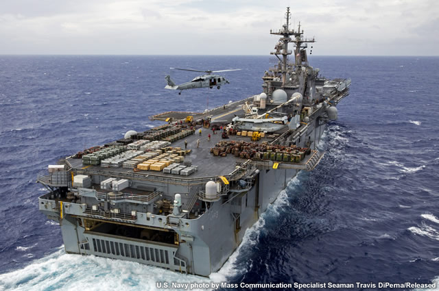
You are on assignment on the USS Kearsarge. It's 9:40 a.m. EDT and time to begin your weather observations for the 10:00 a.m. (1400Z) report. This is the first day of the deployment and your first day as a shipboard observer, but you have a couple things in your favor. First, sailing with you is AG2 Ferguson, a seasoned observer who can provide you guidance as you fulfil your role. Second, even before taking your first official observation this morning, you spent some time familiarizing yourself with the weather situation of the day. Sailing in this part of the North Atlantic in October, you know that sea water temperatures tend to be warm. The morning METARs indicate the air temperatures are quite warm today, humidity is high, winds so far have been mostly calm, and visibility has been unrestricted. Thunderstorms are in the forecast though, so you'll want to keep an eye on the evolving weather situation through the day.
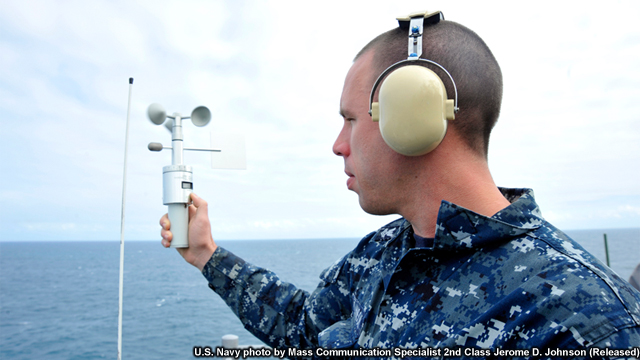
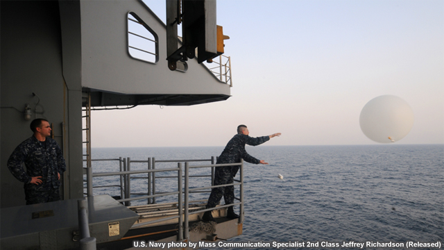
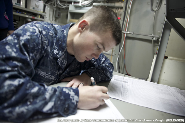
In your job as an Aerographer's Mate, Quartermaster, or Military Sealift Command (MSC) civilian contracted observer, you may be tasked with taking and reporting meteorological and oceanographic observations both on land and while you are at sea. These observations are important for a range of shipboard and airborne operations as weather or sea conditions can seriously impact crew and vessel safety.
Surface weather observations play an important role in numerical weather prediction (NWP). They provide data for the initial conditions of weather forecast model runs and are used to evaluate how well a model is predicting future conditions. In these ways, the observations directly contribute to the accuracy of forecasts and weather warnings.
The winds, surface pressure and specific humidity values are input in the National Center for Environmental Prediction's data assimilation system. These data have resulted in improved analysis of storm systems over the ocean and more accurate forecasts of their strength.
Accurate routine observations are necessary to ensure data going into NWP models correctly represent the current conditions. Without adequate initial conditions, the models cannot provide reasonable forecasts of conditions farther out, be it a 6-hour or 6-day time period.
Your diligence in taking and reporting consistent, high quality observations provides the models with the best possible current view of the atmosphere and ocean. Because oceans are generally data-sparse regions, these observations are particularly important when a vessel is underway or stationed offshore. Observed winds, surface pressure and specific humidity values ingested into weather forecast models have resulted in significant improvements in the analysis of storm systems over the ocean and more accurate forecasts of their strength.