U.S. Coast Guard Mission
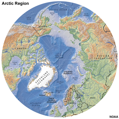
The Arctic Region is primarily an ocean basin bordered by 5 countries: the United States, Canada, Denmark (Greenland), Norway and Russia. The region is very rich in fishing and mineral resources, including oil. Some of the boundaries are disputed, which affects the fisheries and mineral rights in these waters.
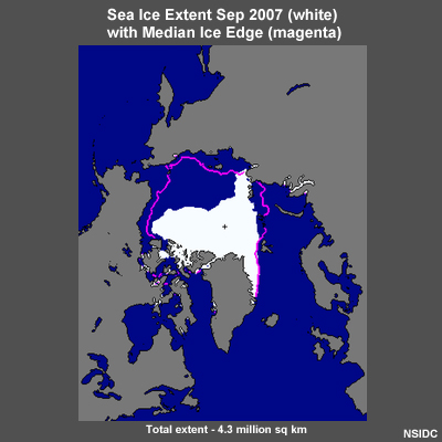
The Arctic region is covered with ice for most of the year. In recent years, however, open waters have expanded in the Arctic region in the summer. This expansion has allowed for an increase in maritime traffic of large passenger vessels, commercial container shipping, oil exploration, commercial fishing vessels, and even small pleasure craft exploring the Northwest Passage.
During the summer months the U.S. Coast Guard deploys ships and aircraft to the Arctic Region. There are several reasons for this deployment:
- Provide a ready capability for Search and Rescue (SAR) and Law Enforcement (LEO). This allows the Coast Guard to assist crews as needed with rescues and to monitor vessels for incidents of pollution.
- Show the flag in the region to support the U.S. boundary claims and the associated economic security zone.
- Survey the bathymetry and geology of the seafloor to support these claims.
- Enforce domestic and international laws as prescribed.
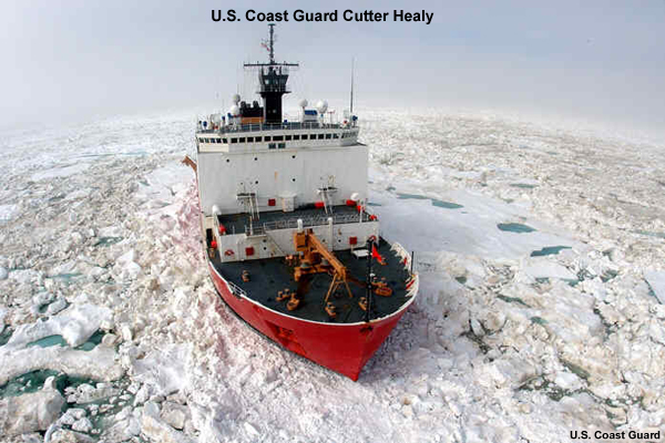
To complete this mission, the U.S. Coast Guard maintains a cutter in the Arctic area, operating off the north coast Alaska between the Bering Strait and Prudhoe Bay. The cutter is kept close to Barrow, monitoring vessels transiting the area.