Fog/Stratus/VisibilitySatellite Detection of Fog
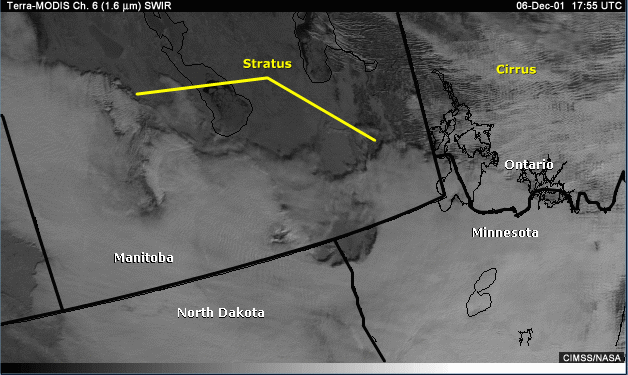
A lack of good surface observations limits the amount of information about conditions both upstream and along a proposed navigation route, but data from polar-orbiting satellites can help identify stratus or fog. At infrared wavelengths, status cloud or fog will appear darker than surface ice or snow cover because the top of the cloud layer will be warmer than the surface. What is not always straightforward is determining the vertical extent of the stratus layer—that is, does the cloud deck extend to the surface as fog. In many cases, these observations do not provide enough information about cloud height and thickness to distinguish between the often-present stratus cloud and fog.