Aug 09, 2000Morning Weather Briefing - Surface
![MSLP in the Alaska region. Climate Forecast System Reanalysis valid 18 UTC 09 Aug 2000](media/graphics/cfsr_mslp_18z9aug00_01.jpg)
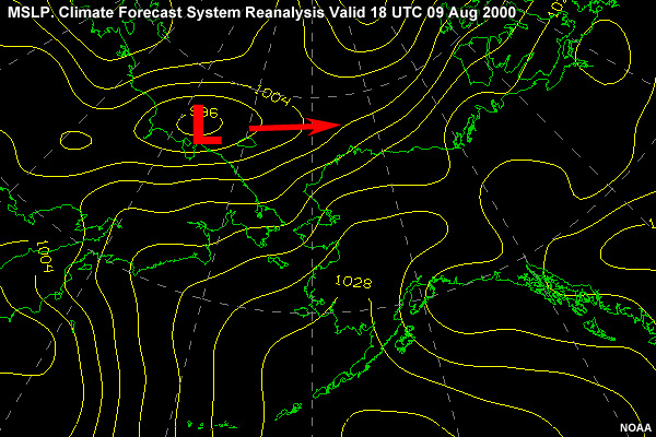
During the morning brief on August 09, the charts show a 996-mb gale low near 75N/165E. The models now call for this low to move east along 75N and weaken to 998 mb.
![10 m Winds over the Chukchi Sea. GFS Analysis 18 UTC 09 Aug 2000](media/graphics/gfs_winds10m_18z9aug00_01.jpg)
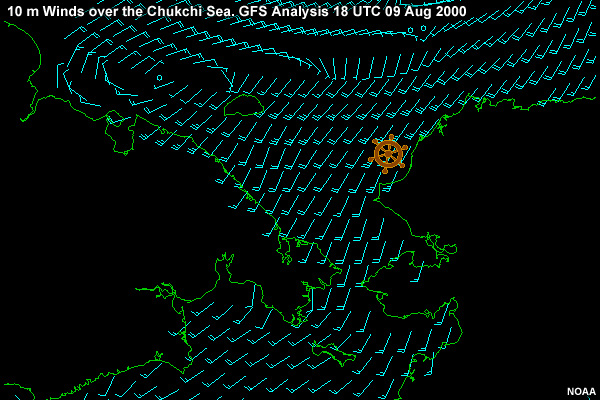
This will result in an easing of the wind gradient to SW 25 kt
![Significant Wave Height in the Bering Sea. WAVEWATCH III Hindcast valid 18 UTC 09 Aug 2000](media/graphics/ww3_hs_18z9aug00_01.jpg)
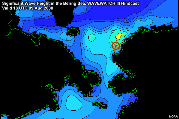
and the combined seas to SW 6-8 ft. Ice is not expected to be a factor as the wind would push any ice out of the area to the northeast and away from the coastline.
![Weather Observations in Alaska, Eastern Russia, and the Bering, Chukchi, and Beaufort Seas 18 UTC 09 Aug 2000](media/graphics/ak_obs_18z9aug00_01.jpg)
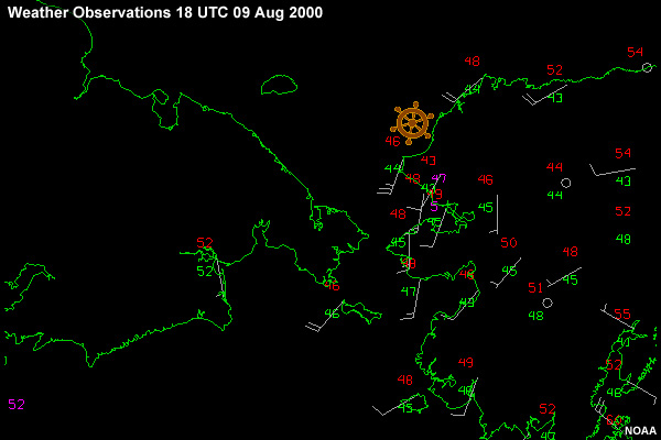
The model analysis agrees well with the only observation for this hour.