Aug 11, 2000 Analysis
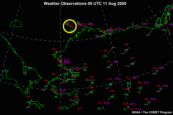
The ship rode out the storm through the night. Winds started to ease at about 9 PM (11/0300 z) to a mere 40 knots. By 1 AM (11/0900) the wind veered NW and diminished to 30 Knots. The seas stayed at the 10-12 foot mark, but as the low moved away, the wavelength lengthened, allowing for a better ride.
The cutter has resumed its transit to Barrow.
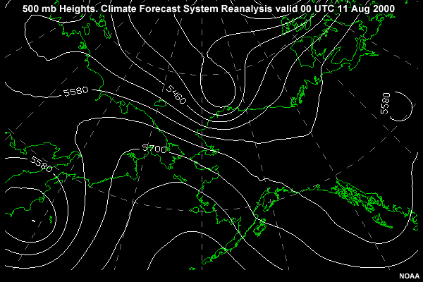
In retrospect, a very strong shortwave dropped into the backside of the upper level trough and deepened the trough.
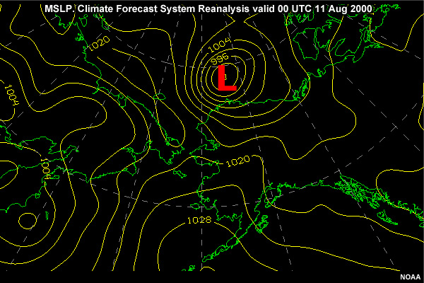
The corresponding height falls in the upper level trough resulted in the surface low deepening to near hurricane force low. The charts did not reflect this deepening in the Arctic upper levels due to a lack of balloon data. Only limited satellite vertical sounding profiles showed any significant height falls.